Tour: Hiking the Alps in Alpstein
- Carattere:
- T3+ demanding Alpine adventure
- Inizio del tour:
- Wasserauen
- Possibilità di pausa:
- Megisalp or Rotsteinpass
- Fine del tour:
- Säntis
- Durata:
- 05:30 orari
- Distanza:
- 11 km
- Ascesa:
- 1.650 m
- Equipaggiamento:
- Good footwear, hiking attire, rain gear, sunscreen, sunglasses, rucksack, hiking poles, food and beverages.
The Alpstein is one of Switzerland’s most breathtaking and popular hiking areas. The area is made up of three mountain ranges where three lakes that could easily be described as Switzerland’s most stunning are situated: Seealpsee, Sämtisersee and Fälensee. About 650 kilometres of marked hiking paths lead through this collection of sky-scraping mountains. But these hiking paths do not simply maintain themselves. Workers like Ueli Hehli, a man whom we get to know in this video, spend hours on end to keep the paths clear for hikers like us.
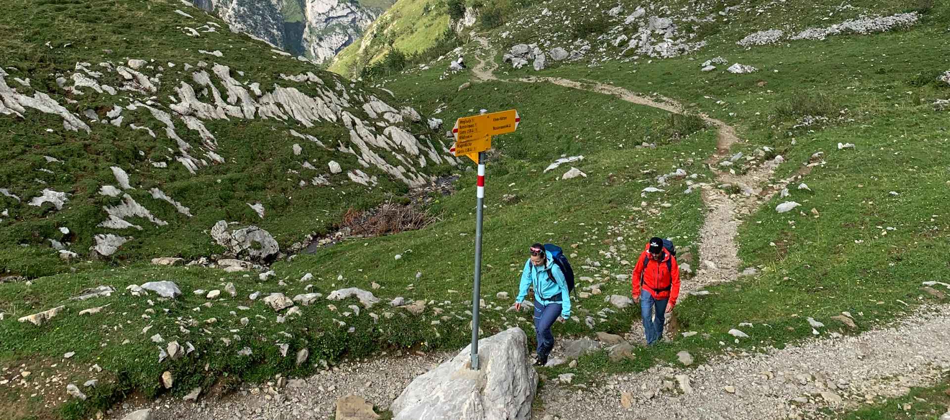
The ultimate destination of this demanding Alpine hike is Säntis – which is the high point of the Alpstein mountain ranges at 2,502 metres above sea level. This sensational hike leads past Seealpsee, the unique Meglisalp village, the spectacular Rotsteinpass and over the exposed ridge called Lisengrat as it meanders its way to the summit of the Säntis. A total of 25 mountain guest houses have been built in Alpstein, and hikers can spend the night in 20 of them. Hikers can also spend the night at Meglisalp or Rotsteinpass.
ROUTE:
Wasserauen (868 m) – Seealpsee (1142 m) – Meglisalp (1516 m) – Rotsteinpass (2119 m) – Lisengrat – Säntis (2502 m) – descent to Schwägalp (1352 m) with the mountain train – then by post bus and the Appenzel train back to the starting point
You will find more tour tips that include videos at: www.outside-move.ch
